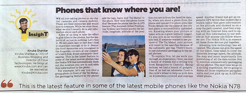
Here’s the column that got published in today’s paper.


Click here to see enlarged image
Phones that know where you are!
We all love taking photos on our digital cameras and camera mobiles. These are fond memories and would love to treasure. While we store them, what we don’t usually do is add information about each photo. A few of us blog or take the effort to give titles to the photos, but the majority of us just do nothing. Let’s face it. We’re are plain lazy or just don’t find it important enough to do it. Hence, the fond memories are consigned to the forgotten corners of our computer’s hard disk.
Enter automatic Geotagging. This is the latest feature in some of the latest mobile phones like the Nokia N78 that automatically finds out the location you are in and adds this information to the photo. For example, let’s say you shot a group photo in front of the Taj Mahal. The geotagging feature in the phone adds the tags, ‘Agra; and ‘Taj Mahal’ to the photo. How does the phone know this? Because the phone has the A-GPS feature (The Assisted Global Positioning System) and hence knows the latitude, longitude, altitude of the position you are in from the Satellite data. Understandably, you must have subscribed for a GPRS connectivity from your mobile service provider. (This is the feature that lets you access Internet from your mobile)
So, when you shoot a photo from the phone and upload it to photo sites like Flickr, details like the name of city and place are automatically uploaded too. Knowing where your picture is taken acts as a great memory jogger. It also acts as an excellent community tool. If someone wanted to see pictures of The Taj Mahal, your picture will result in the searches because of the automatic geo tag.
There’s more to just automatic geotagging in the latest phones. To explain this, let me walk you through an experience. Once, me and a bunch of friends did a cycling trip from Bangalore to Chennai. Being techies, we had a bunch of gadgets. One of us had an odometer fixed to the cycle’s wheel to help us with data on kilometers covered and average speed. Another friend had got an expensive GPS device that looked like a walkie talkie that gave information on the altitude and showed us on a map the path covered. And then a laptop with an Internet data card to upload all this information to our website so that anyone can follow where we are.
The Nokia N78 is in essence all these three devices put together. Amazing how technology has advanced. The phone can give the speed of our travel, time taken to cover the distance, average speed, the altitude, the map and more importantly live publishing of all the date online. Not to mention automatically geotagging all our photos.
The next time we go on a cycling expedition, we’re going to dump all those expensive paraphernalia and just pick up an A-GPS enabled phone.
